SPIRIT LAKE
Maximum Depth
acres
native plant species
Volume (acre feet)
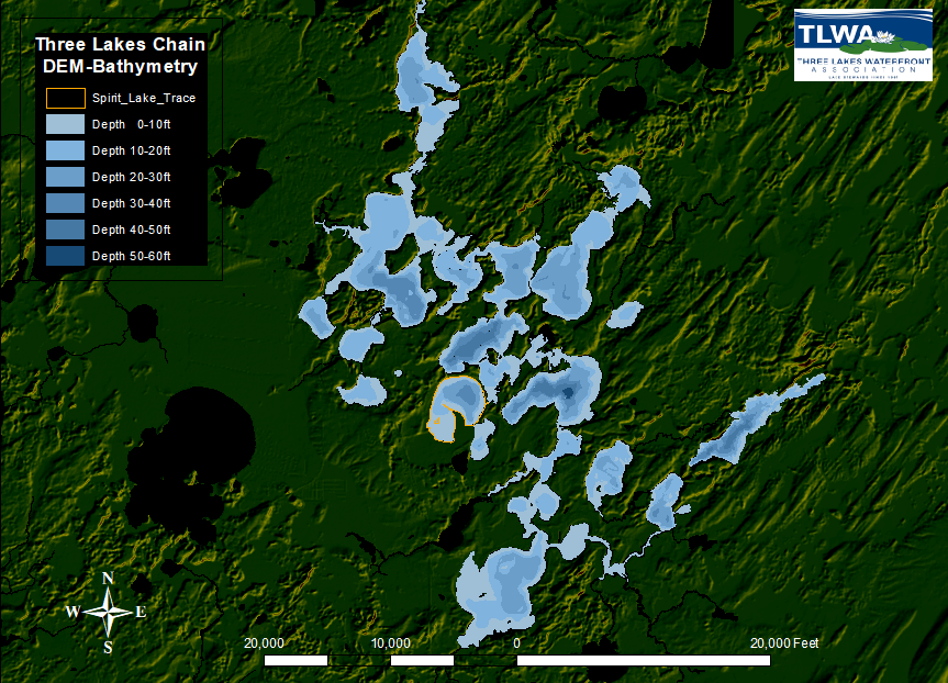
location on the chain
Spirit Lake, Oneida County, is a deep, headwater drainage lake with a maximum depth of 39 feet and a surface area of 355 acres. This mesotrophic lake has a relatively small watershed when compared to the size of the lake. Roughly 37% of the shoreline borders State Highway 32 as it crosses the Three Lakes Chain in Oneida County. Spirit Lake contains 60 native plant species, of which common waterweed was the most common plant. Reed canary grass and pale–yellow iris
are two non–native plant species observed in the 2013 surveys.

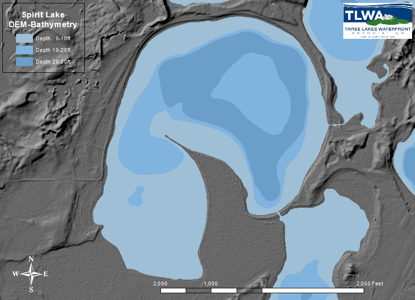
topography and water depth map
Digital Elevation Model (DEM) of Spirit Lake area showing shaded relief (topography) in shades of gray and water depths (bathymetry) color-coded in shades of blue. The DEM shows three general levels, the water surface in blue, low-lying flat areas (some of which are marshy) and areas of ground raised 30-50 feet that resemble “mesas”.

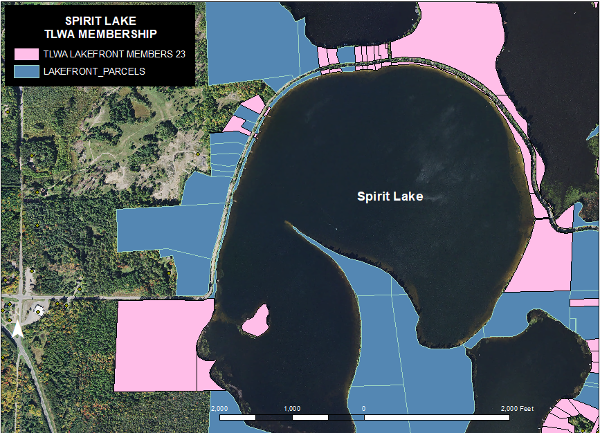
TLWA membership distribution map
Waterfront land parcels from the Oneida County Land Records are color coded to represent TLWA Membership status as of May 2023. These maps were generated as a visual guide to TLWA participation within the Three Lakes Chain. They became a tool for the Membership committee, Lake Captains, shoreline monitors, and neighbors to assist in identifying under-represented areas where new members could be sought out and encouraged to join.

