PLANTING GROUND LAKE
Maximum Depth
acres
native plant species
Volume (acre feet)
location on the chain
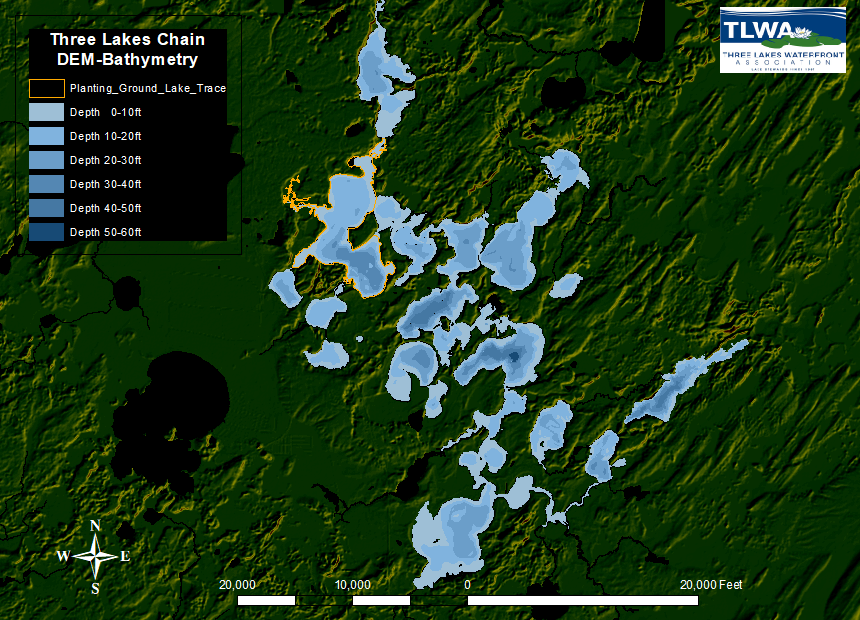
Planting Ground Lake, Oneida County, is a deep, lowland drainage lake with a maximum depth of 37 feet and a surface area of 1,010 acres. This upper-mesotrophic lake has a relatively large watershed when compared to the size of the lake. Planting Ground Lake contains 45 native plant species, of which wild celery was the most common plant.

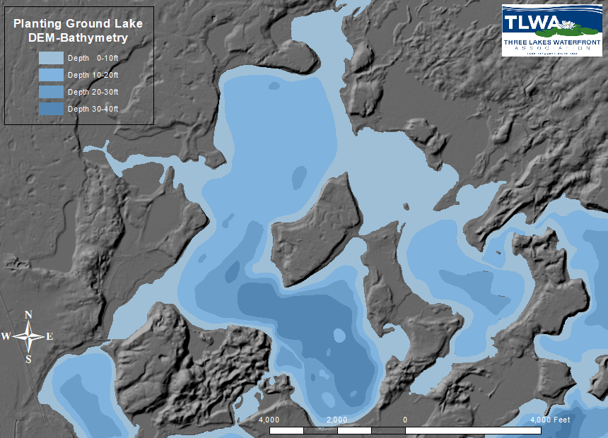
topography and water depth map
Digital Elevation Model (DEM) of Planting Ground Lake area showing shaded relief (topography) in shades of gray and water depths (bathymetry) color-coded in shades of blue. The DEM shows three general levels, the water surface in blue, low-lying flat areas (some of which are marshy) and areas of ground raised 30-50 feet that resemble “mesas”.

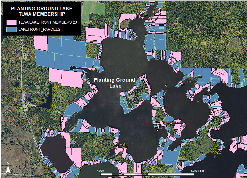
TLWA membership distribution map
Waterfront land parcels from the Oneida County Land Records are color coded to represent TLWA Membership status as of May 2023. These maps were generated as a visual guide to TLWA participation within the Three Lakes Chain. They became a tool for the Membership committee, Lake Captains, shoreline monitors, and neighbors to assist in identifying under-represented areas where new members could be sought out and encouraged to join.

